Ueland Tree Farm Trails

A popular destination near Bremerton in central Kitsap

Ueland Tree Farm has 18+ miles of trails, optimal for mountain biking and suitable for long quiet walks.

Most visitors come for the popular South Loop Trail, but only the hiking trail leading to Dickerson Falls.

Mountain bikers and those who prefer longer walks will have miles of trails to themselves

Pros

Cons

Ueland Tree Farm Trail Maps

The map series begins with an overview map of the entire Ueland Tree Farm trail system.  Detailed trail maps follow, highlighting popular destinations and trails.  Use the arrows beside each map to view the complete series.  Maps are optimized for easy on-screen viewing without the need for magnification on large screens.  Optionally, click to view and/or save a full-size map of the entire Ueland Tree Farm and its trails.

Ueland Tree farm is a recreation area that is off the radar for most people.  You won’t find it on the county, city, or state parks websites.  It doesn’t straddle the coast or traverse virgin forest, but it does provide miles of roads and trails for endless mountain biking and walking/hiking routes.

An established working tree farm, the trails are all current or former unpaved access roads, with the exception of the almost 1-1/4 mile long South Loop Trail leading to the Dickerson Falls spur.  This is the most popular route and is most suitable for walking only.

Examining the trail map, you will see U1100, an almost parallel trail also leading from the parking area off Leber’s Ln.  If travelling on foot, take either of these trails to the falls and take the other back for a slightly different experience.

Most people don’t venture beyond the Dickerson Falls Trail, although a few will continue down one or more of the many loops through the extensive 2.200 acre property.

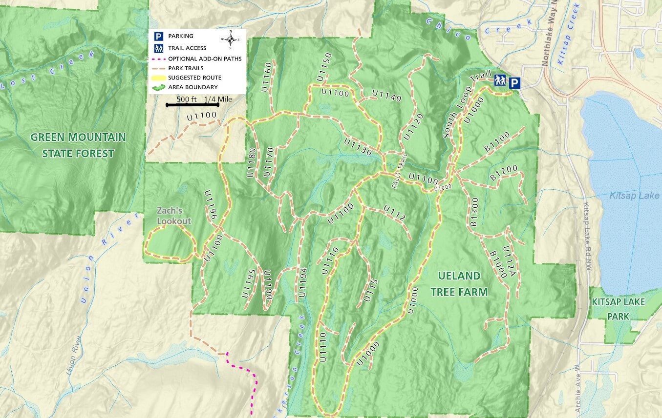
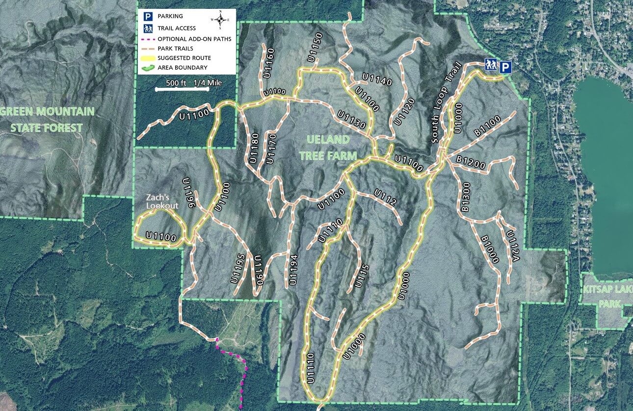
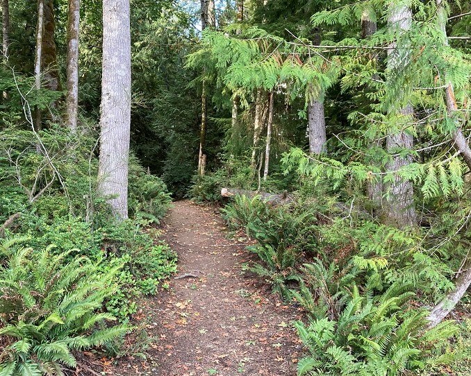
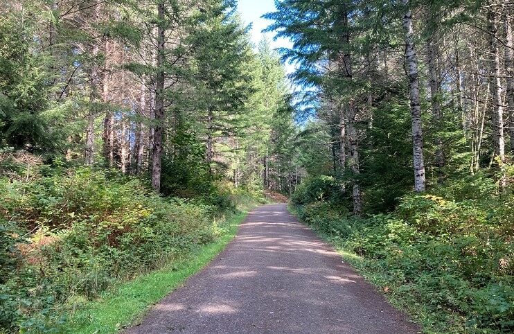
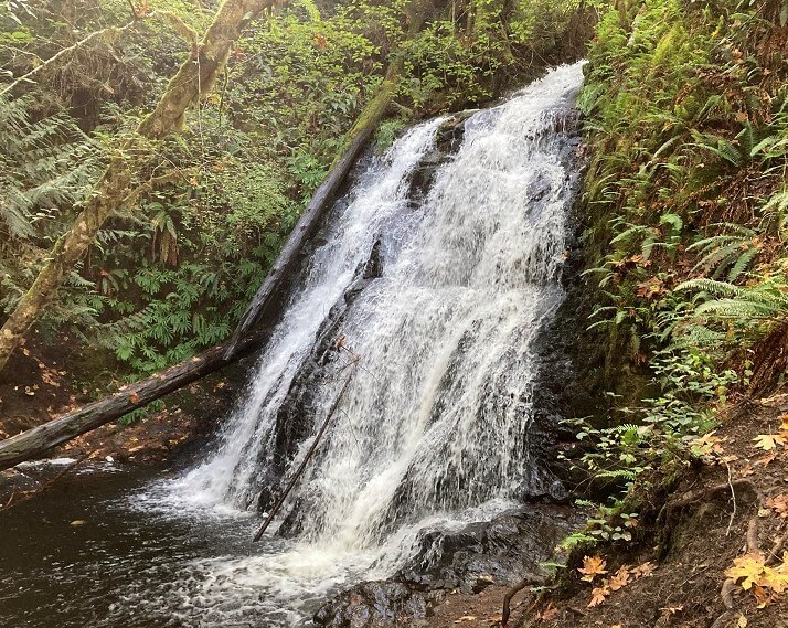
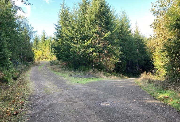
Mountain bikers will love this area, unless you prefer challenging single-track trails.  Each road segment may have a different surface type, from gravel or dirt to grass and all are very rideable.

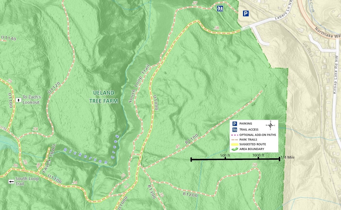
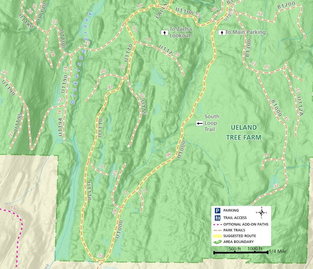
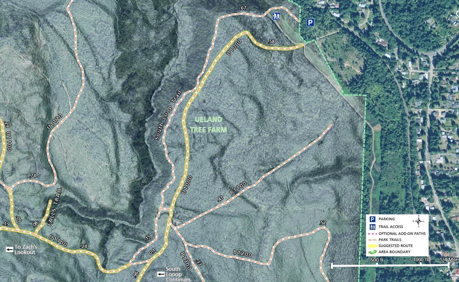
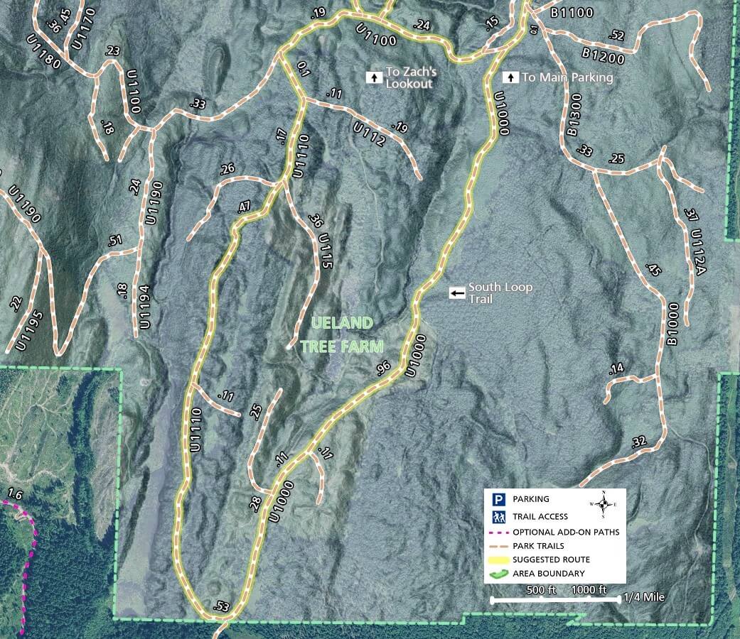
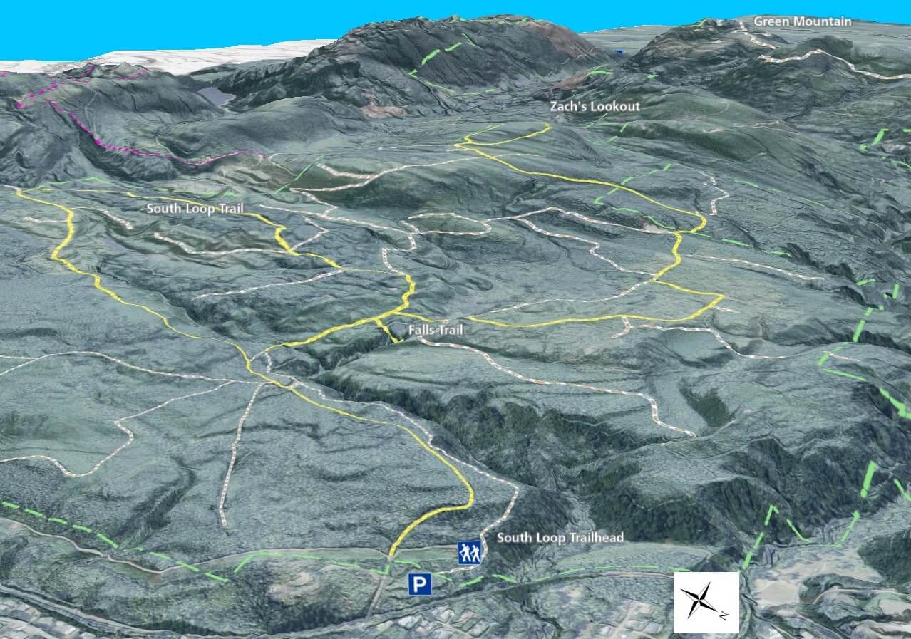
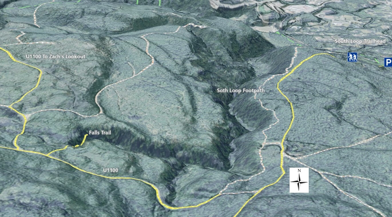
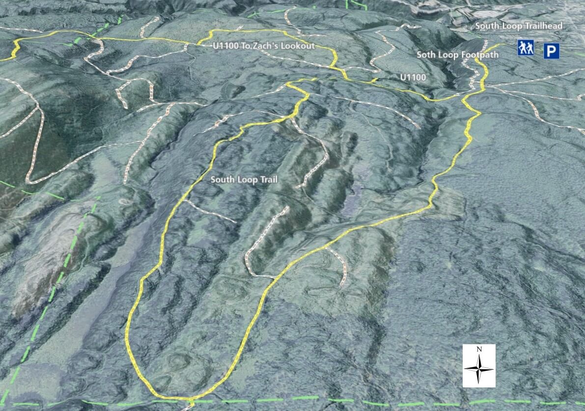
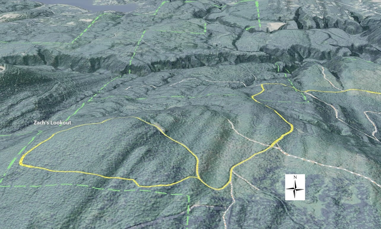
Routes climb, descend, and skirt the endless ridges and valleys as you progress towards your goal.  The most popular mountain biking destinations are Zach’s Lookout and the full South Loop Trail.  Riding from the parking area, exit the lot and turn right to begin your graded climb.  Zach’s Lookout is almost 3-1/2 miles one-way and gains about 860 feet of elevation, while The full South Loop is about 3-3/4 miles long, but doesn’t gain nearly as much elevation.

Zach’s Lookout is a rewarding destination with mountain and valley views of Green Mountain to the west and parts of the Bremerton and Silverdale areas to the north and east.  Areas immediately surrounding the lookout have been harvested and are not visually pleasing, but views beyond the clear cut are impressive.

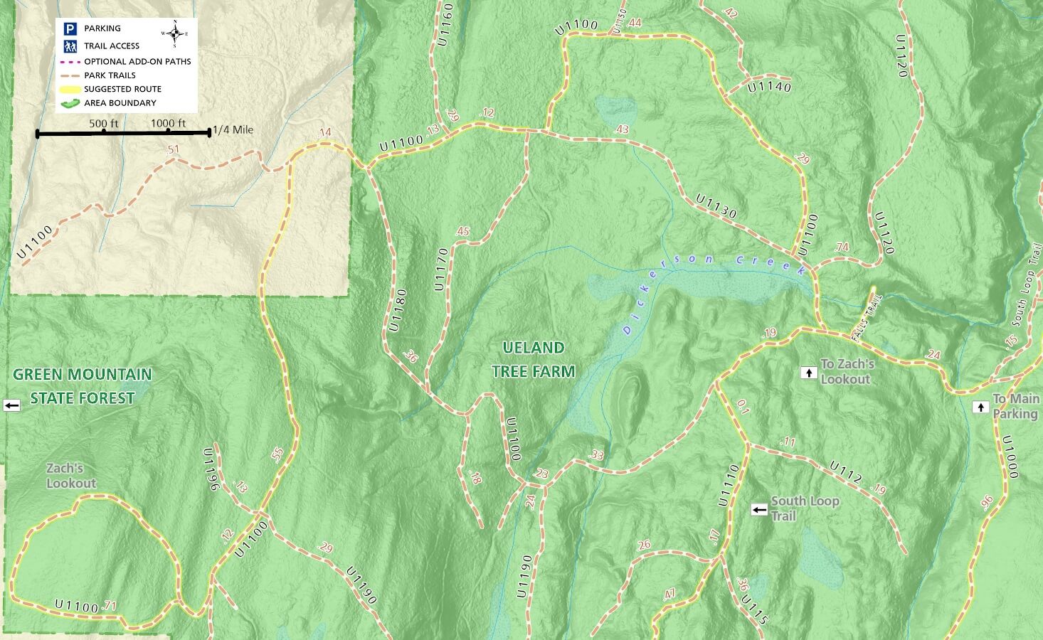
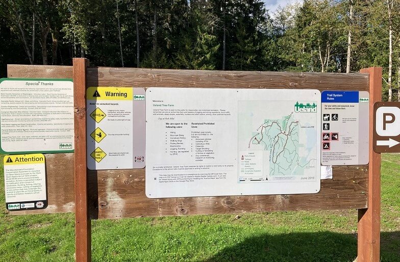
The suggested routes on the map are just that and you can easily make up your own loops with the well signed roads throughout the tree farm.

Some report that multiple roads within the tree farm connect to others leading far beyond the borders, so use a gps and monitor your location to avoid getting lost.

Additional Maps

The maps below provide a different perspective on the Ueland Tree Farm area with satellite imagery.

3D Maps

See the maps below for more realistic 3D perspective views of Ueland Tree Farm trails

For more information, visit the authoritative Ueland Tree Farm page