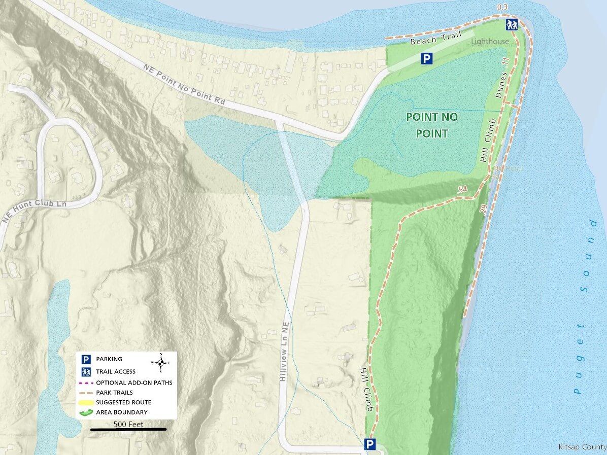
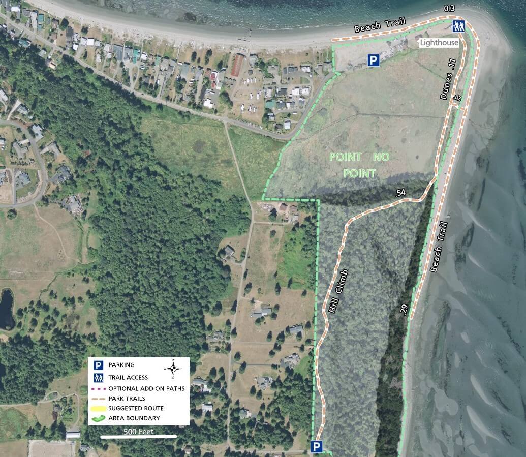
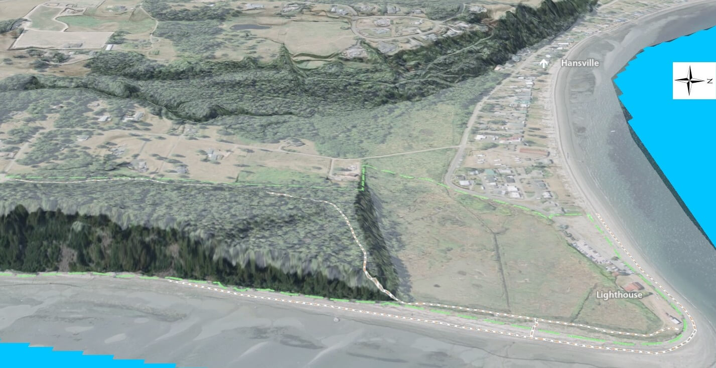
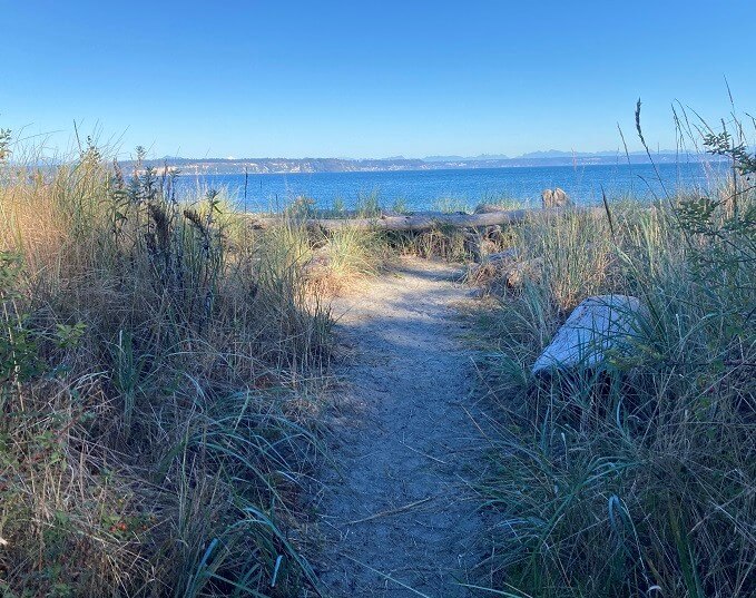
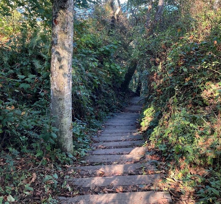
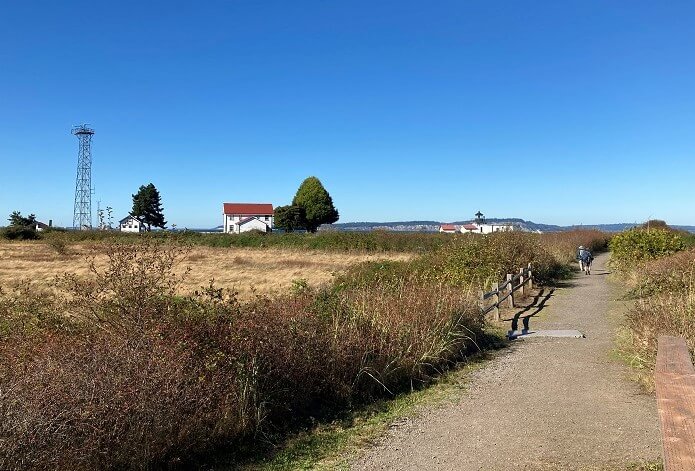
Anyone who knows about Point No Point County park is aware of the historic lighthouse and the fantastic views of Puget Sound, as well as Whidbey Island and areas north of Seattle. Many visitors are not familiar with the trail meandering between the sandy beach and wetland area south of the lighthouse and the short, but steep climb (with stairs) up to a level trail on top of the forested bluff.
Most people arrive in the large parking area or the overflow lot at the north entrance and start by checking out the lighthouse and driftwood-lined beach. Sunny days, especially in the summer draw the largest crowds, even filling the parking lots, but few are aware of the very small parking area on the south side of the park where you can follow the tree-covered trail to the descent down to the main area.
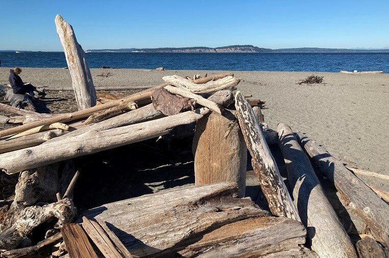
The beach is very walkable and lined with driftwood, providing numerous secluded spots to sit and enjoy the scenery.
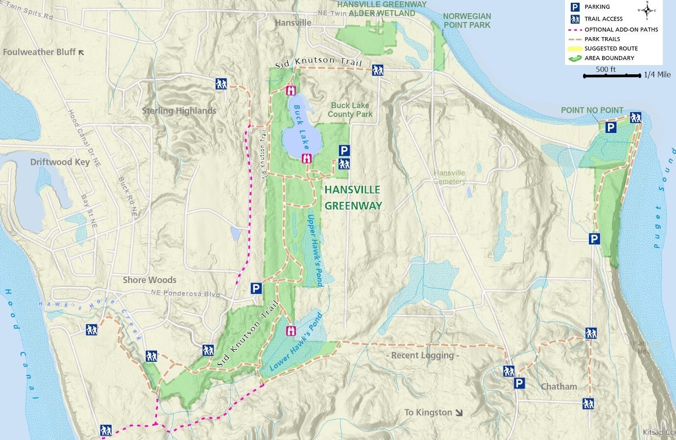
Just west and south of the park, the Hansville Greenway trail network is accessible from Buck Lake County Park and many other places between Hood Canal and Puget Sound.