Newberry Hill Heritage Park Trails

An expansive park with a variety of trail options

A short drive west from Silverdale or Bremerton, Newberry Hill Heritage Park offers a wide variety of trail options for walking, hiking, and mountain biking.

Over half of the trails are wide and gently sloped allowing just about anyone to easily experience them.

Offering multiple loop routes, you can pick and choose a short or long route to fit your schedule and ability

Pros

Cons

Overview Trail Map and Detailed Section Maps

The map series begins with a generalized overview map of Newberry Hill’s trails.  Browse through the detailed section maps by using arrows on either side of the map frame.  Each map is optimized for easy on-screen viewing.  Optionally, click here to view and/or save a full-size map of the entire Newberry Hill Heritage Park trail system.

Most people enter Newberry Hill from the north side near the school or the south entrance at the roundabout connecting Seabeck Highway and Holly Rd.  

The suggested route on the map is an approximately 4 mile loop and is just one of many loop options available to experience the variety the park has to offer.  The Old Loop Road is wide and easy with slightly rolling terrain and is great on foot or bike.  

The Wildlife trail has wider and narrow sections as well as several views of the wetland (picture at top of page), whereas the Riccochet and Gear Jammer loops at the south end are windy single track paths.  There is a third loop called Strange Days that is not currently on the map, but will be soon

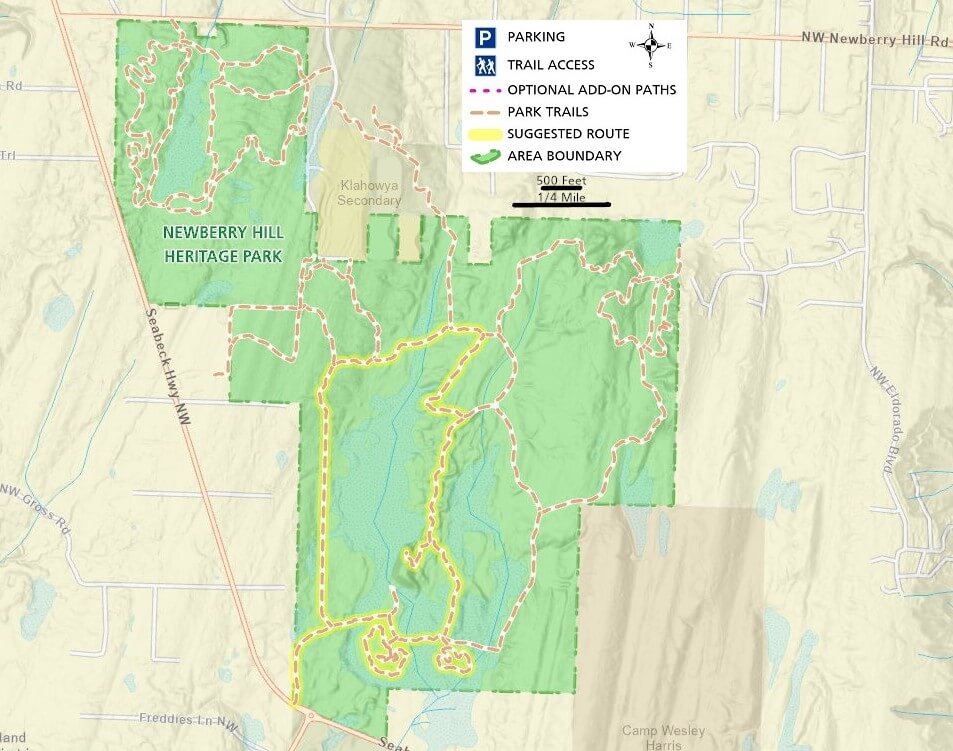
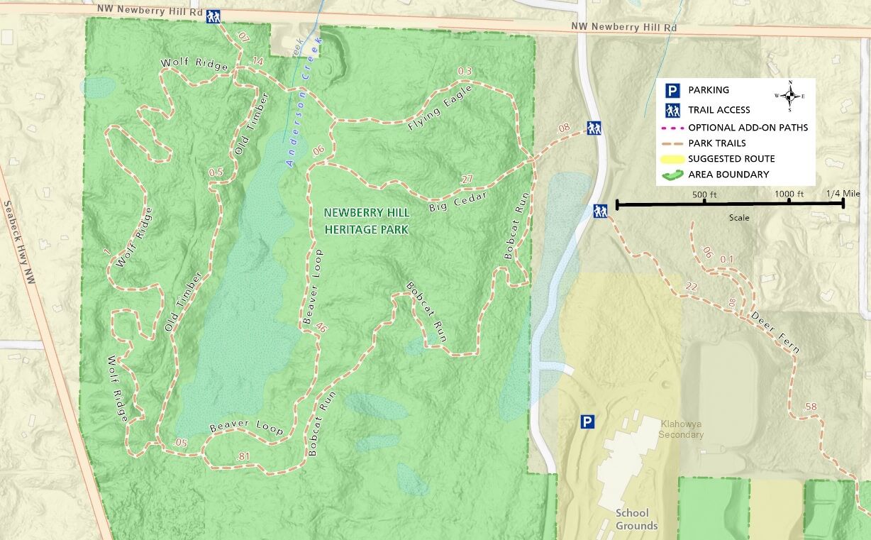
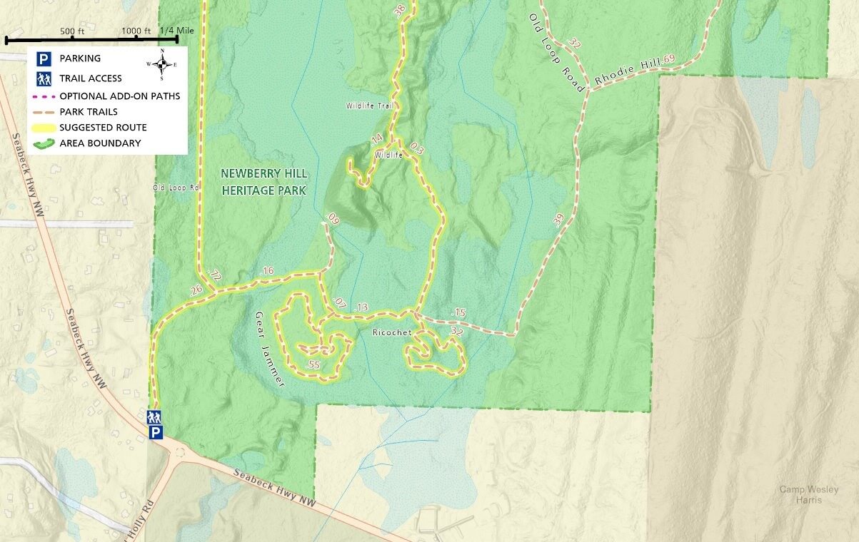
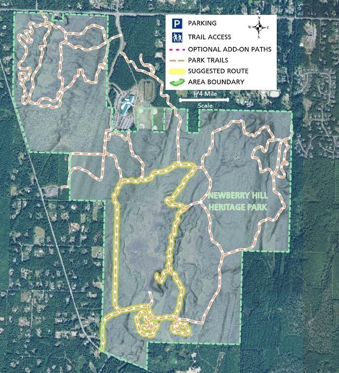
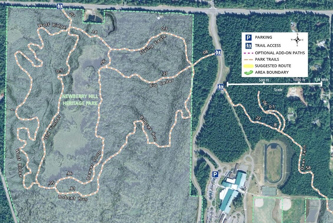
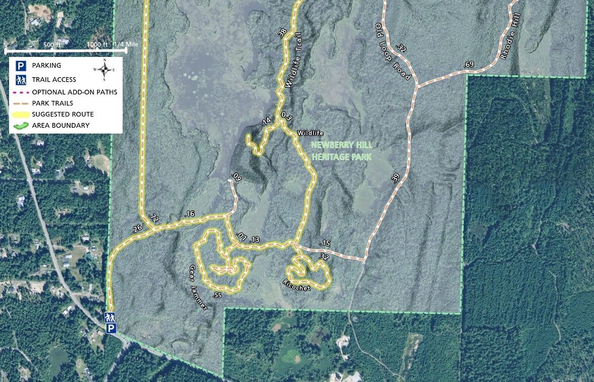
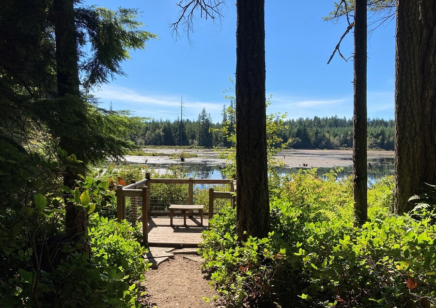
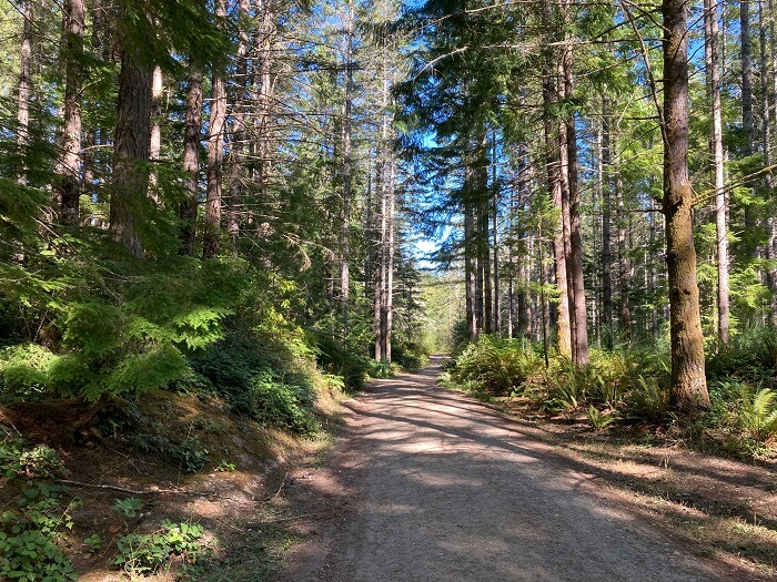
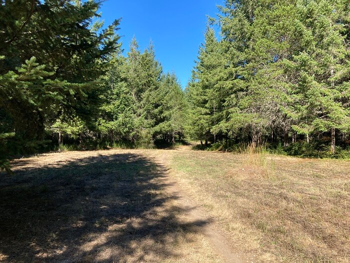
Most of the trails are well maintained with easily walkable surfaces and no vegetation scraping your ankles.  

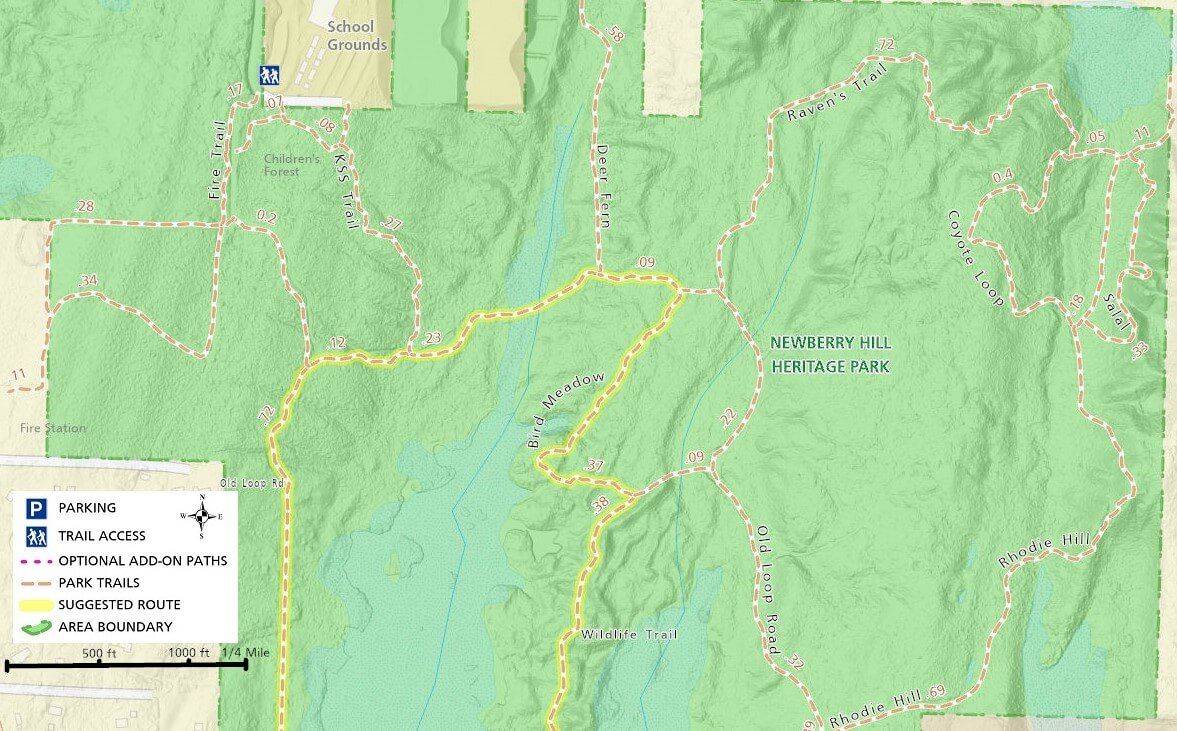
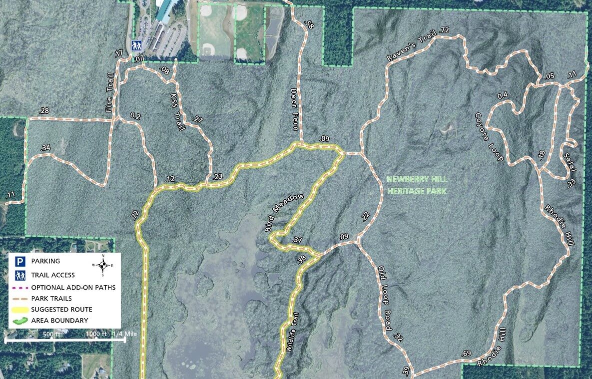
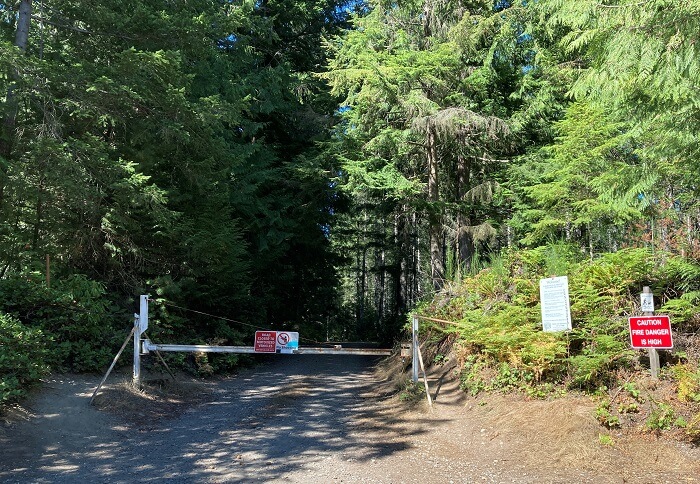
Some trails in the central area south of the school are in transition and there are multiple spurs that don’t necessarily go anywhere.

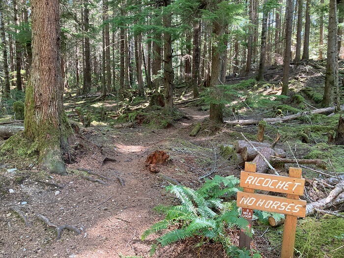
Sevaral loops in the north section were blocked in the spring so be prepared to change your route based on conditions at the time of your visit.

Trails on the east side, such as Rhoadie Hill, Raven’s Trail, and Coyote Loop seem to be more remote and less visited.  Parts of these trails offer more challenging terrain for those who like hills.

If you plan to walk a longer route that you are unfamiliar with, be prepared as you can easily get turned around out there.

Additional Maps

Using the left and right arrows below, browse through some additional maps of Newberry Hill Heritage Park and its trails.  These maps show the trail system with imagery and elevation hillshading in the background

Newberry Hill Heritage Park Trail Photos

For more information, visit the authoritative Newberry Hill Heritage Park page