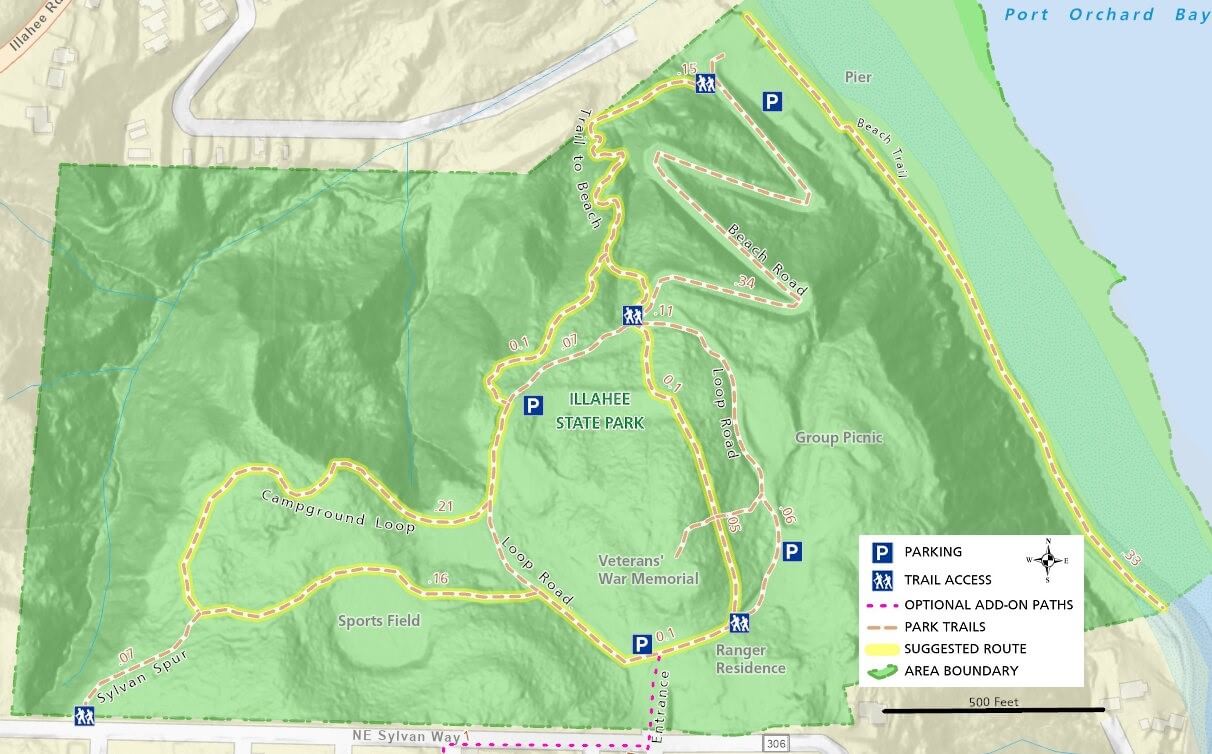
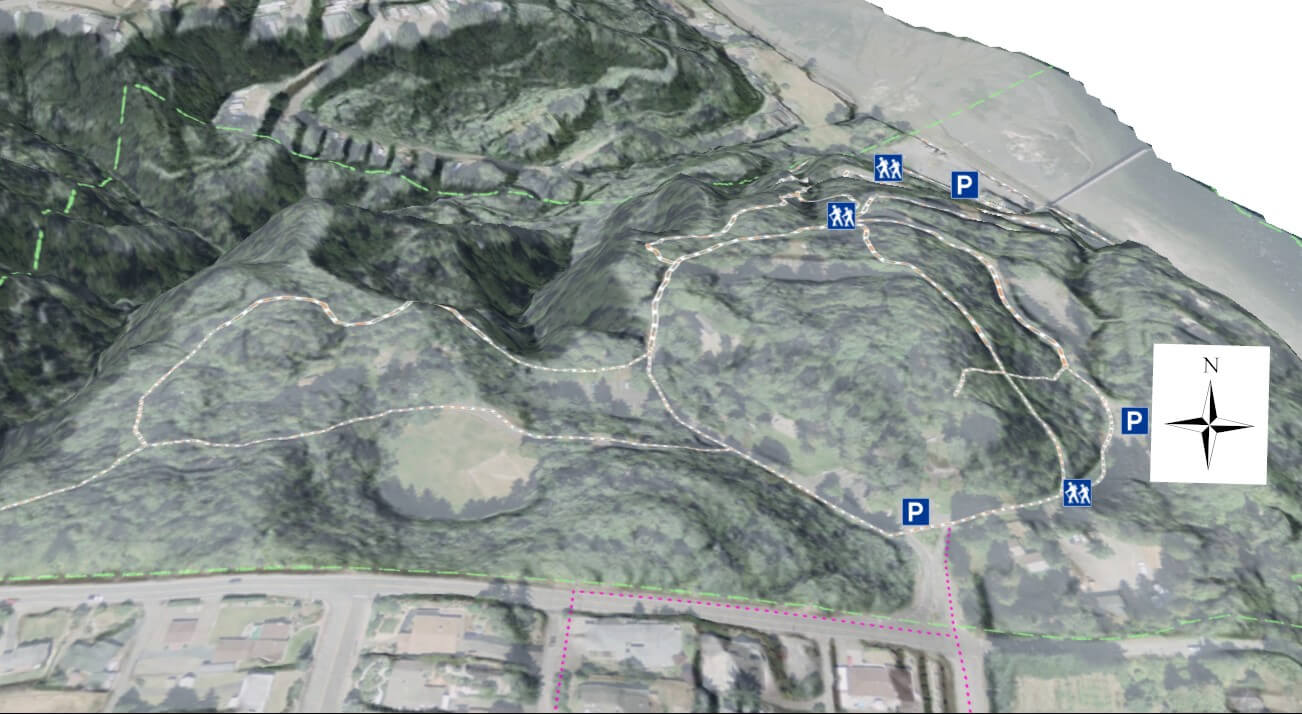
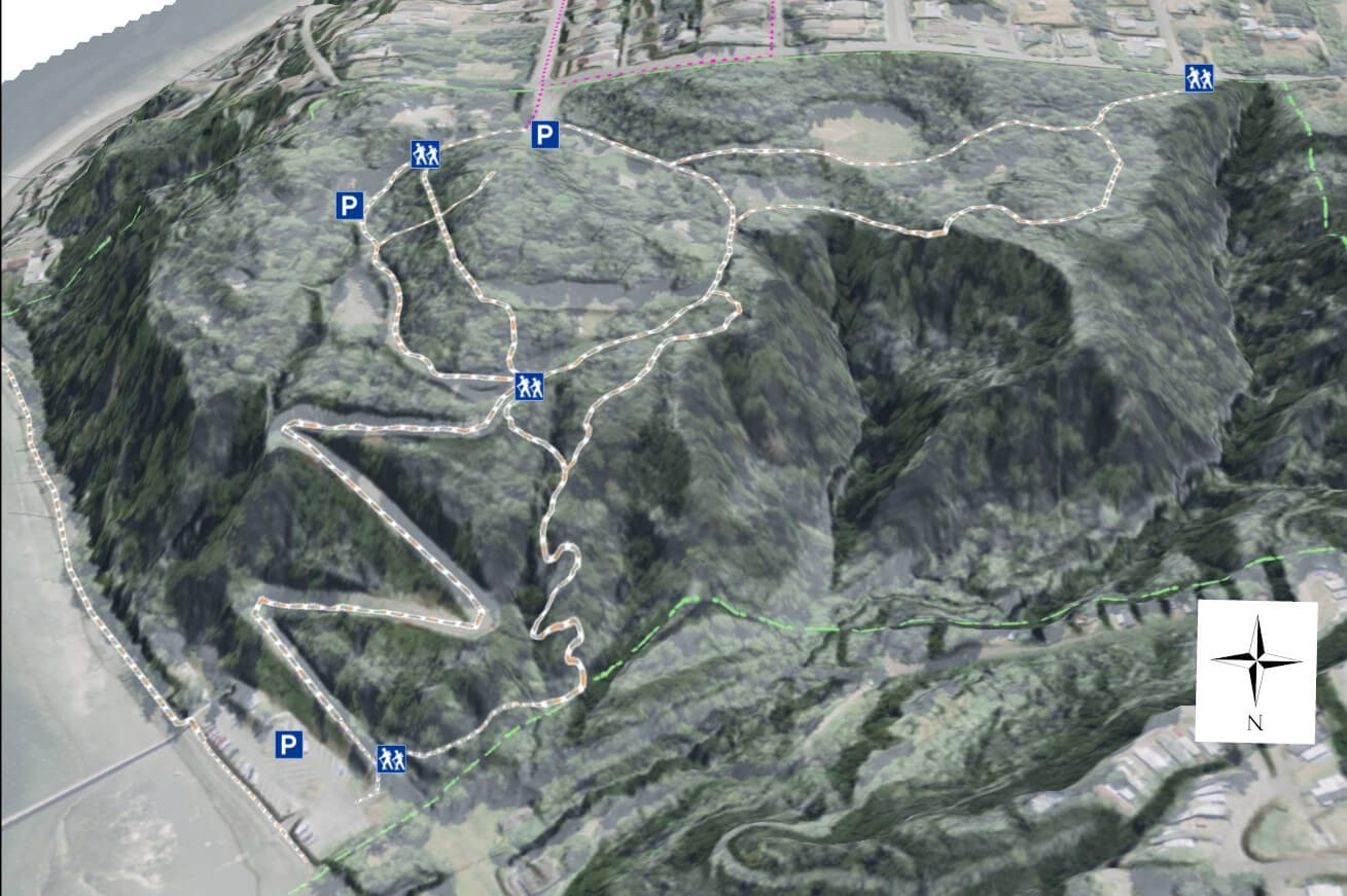
Officially, the park only has a half-mile trail, but if you expand your walk beyond the marked trail down to the beach you can put together a 3-mile stroll. The main park driving loop and road down to the waterfront allow you to drive to the park’s main features, but there are better options for walkers and hikers. Park in one of the upper lots immediately after entering the park and walk the trails and roads shown on the map.
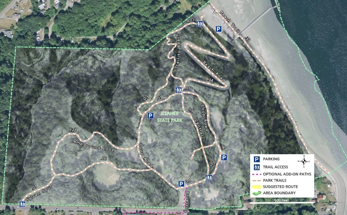
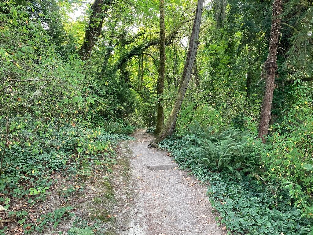
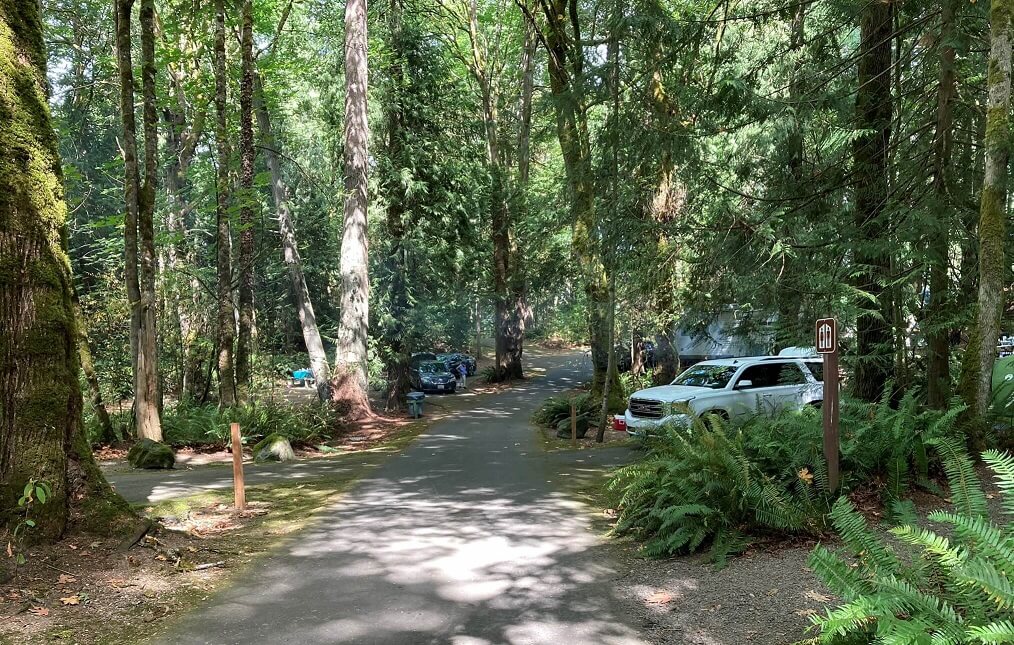
After entering the park, turn right and follow the one-way loop road to the first parking area, a great shady option, especially on a hot sunny day. There are walking options on this side of the park, many of which are not on the map due to the haphazard assortment of short paths leading to picnic shelters and other areas. You can walk down the loop road or veer to your left and find the path cutting through the center of the park. It will cross the loop road at the downhill road to the beach and turn into a very enjoyable trail as it descends towards the beach.
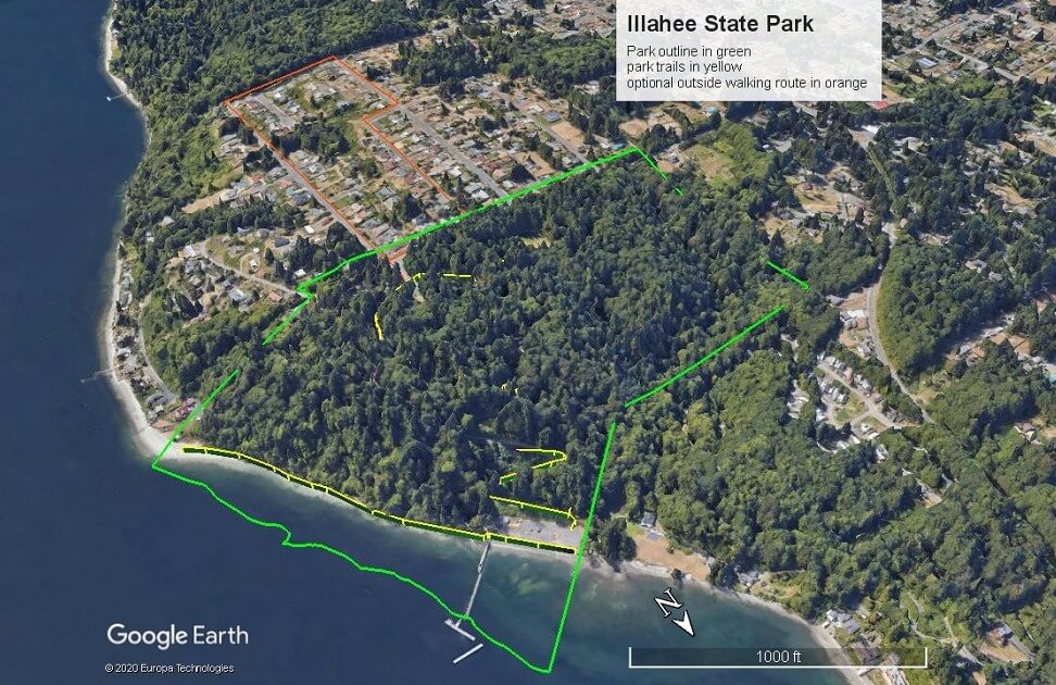
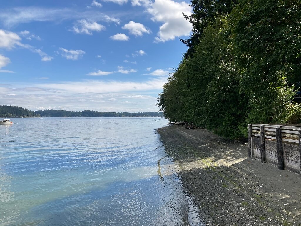
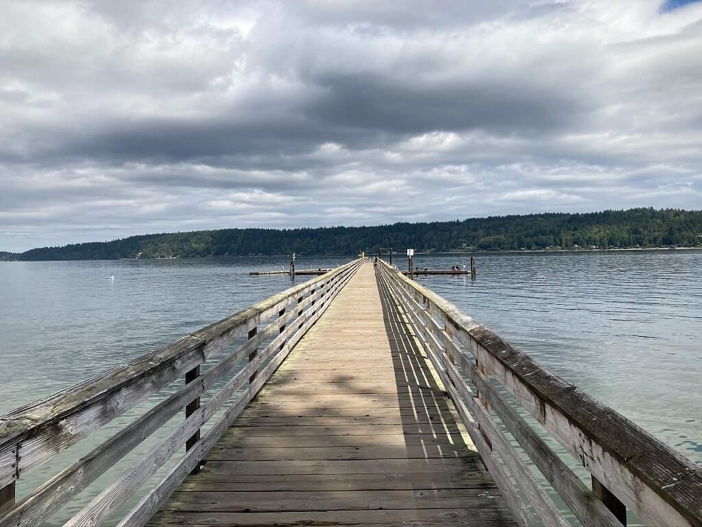
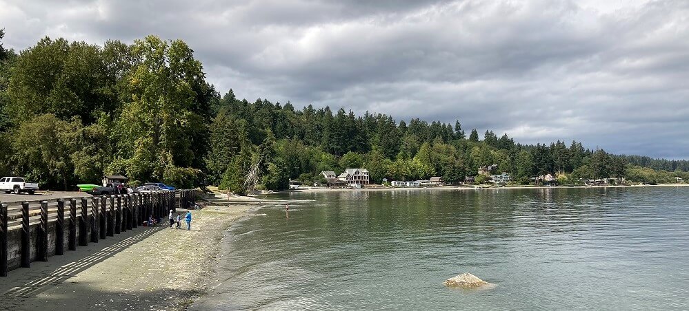
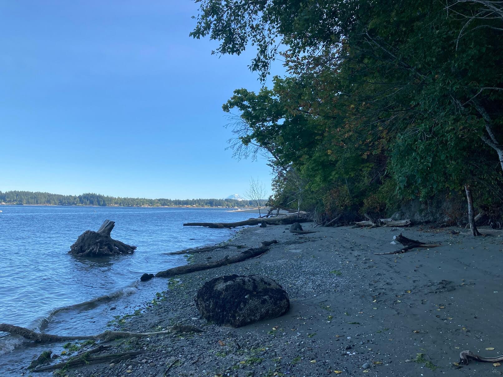
Combine this with a walk down the beach at a lower tide to the park boundary and enjoy the view. On your return, you can take the right fork on the main trail back up and head towards the campground. If you like camping, you will find the campground loop an enjoyable walk. In the off season you will have this whole area to yourself, but even in the more popular summer season, the place never feels too crowded.
The map’s suggested route combines several trails and road-based paths, but as stated earlier, the roads in the park are covered by tall trees and are very walkable. Some people choose to walk the road down to the beach, but if you do, watch for cars on this narrow and route.
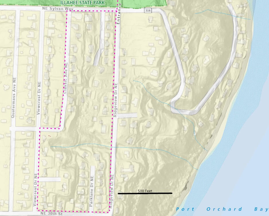
For those looking for a longer walk, follow the optional path outside the park through the neighborhood. This is included here in part because of the amazing view after climbing the hill on 30th near ViewCrest Drive.