Guillemot Cove Nature Reserve Trails

Remote county park with great trails

Guillemot Cove is in the same general area as Scenic Beach State Park, but is 5 miles further down a winding road.

With no amenities other than the amazing trails, views, and solitude, this park is a n incredible place to spend a few hours or half a day.

Be prepared for a shallow creek crossing to get to the beach

Pros

Cons

Guillemot Cove Trail Map

The map below shows trails with mileage displayed for each segment in addition to trail access points and other points of interest

Guillemot Cove was recognized as a special place many years ago and was set aside and protected from development by the land owner and Kitsap County.

Read about its history on the Kitsap County Parks site.

With trail access points at the parking area on Stavis Bay Rd. NW, the Sawmill Trail weaves its way downhill to the other trails and points of interest within the nature reserve.

Beginning your hike with a downhill grade means that yes, the return trip will be uphill.

Check out the 3D map below for a view of Guillemot Cove’s topography.

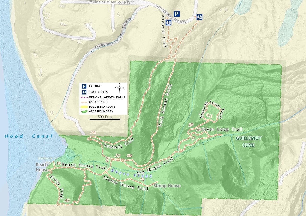
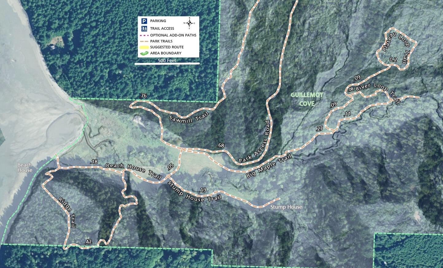
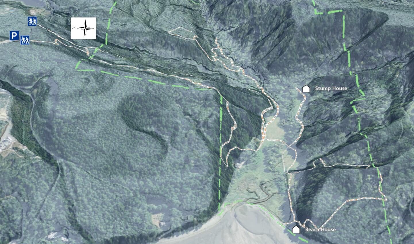
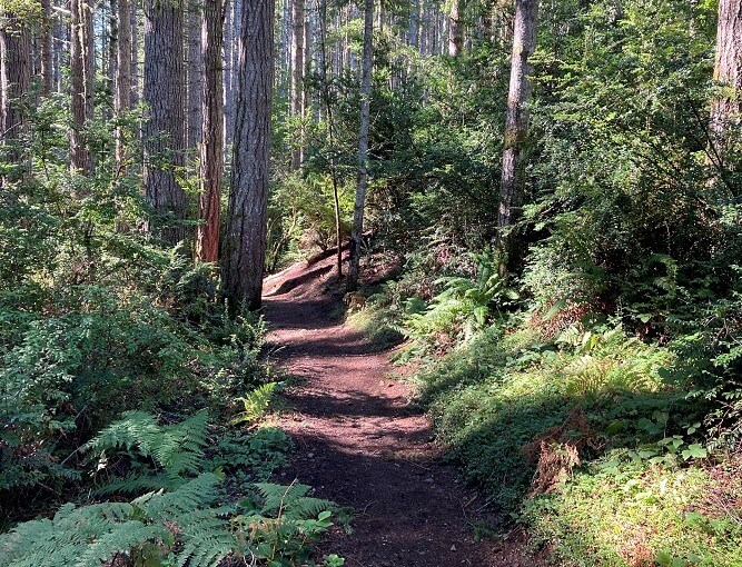
The Sawmill trail is well maintained and makes its way through the forest towards the wetland below.

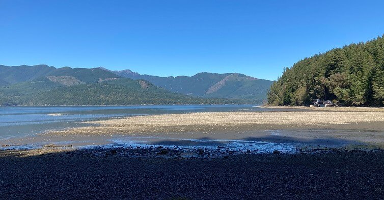
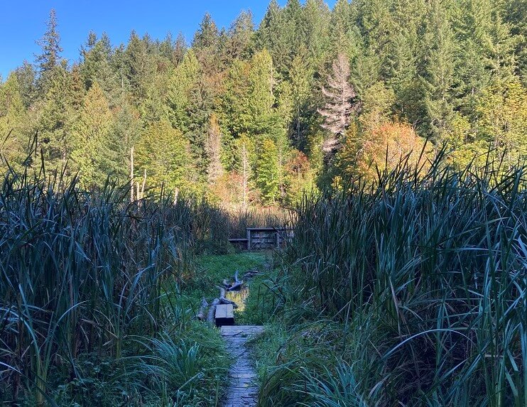
The sky reveals itself as you reach the bottom and enter an expansive wetland area.  To your right is Hood Canal, but don’t take the gravel road that you encounter first.  This just leads to the single private residence in the area.

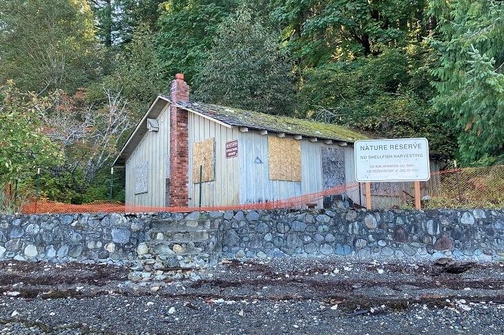
The beach house and wide beach are only about 1/4 mile further.  Follow the bordwalk and cross Boyce Creek to get to the other side and then turn right to access the beach.  The creek crossing is often covered in several inches of water, so expect to emerge with wet shoes.

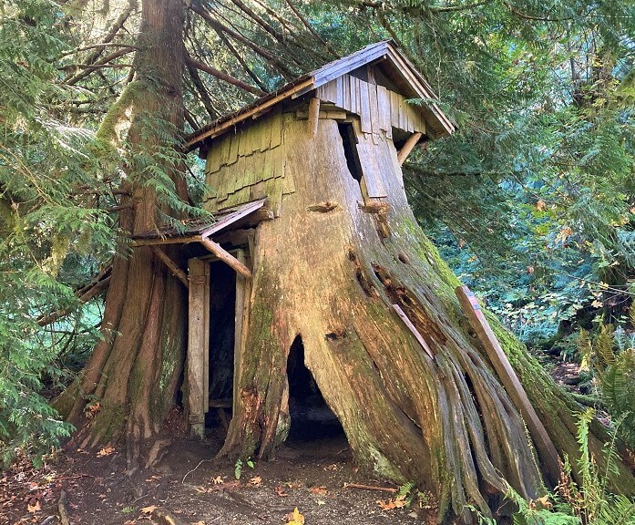
Each trail offeres a different experience.  The Beach House Trail and Stump House Trail are level and generally follow the creek to interesting sights at either end.

The Ridge Trail does what the name implies – climbs and then descends back to the Beach House Trail.

If you choose not to cross Boyce Creek or if you just want to extend your hike, several options are possible.  Take the Big Maple Trail past the Porta-Potty away from the beach and you can continue on to the River Loop Trail and the Plateau Loop Trail.

When you are ready to return, follow the trail back to the parking area or optionally, take the Park Access Road which is a slightly faster route.

Additional Maps

The map below provides a different perspective on Guillemot Cove’s trails with  satellite imagery and elevation hillshading

3D Map

See the map below for more realistic 3D perspective views of Guillemot Cove Nature Reserve’s Trails.  

For more information, visit the authoritative Guillemot Cove Nature Reserve page