Forest Ridge Park Trails

City of Bremerton Neighborhood Park

Forest Ridge Park is an asset to those who live or work nearby, but its small size makes it less appealing to those coming from further away.

Trails in this compact park seem longer than they are, officially, less than 1/2 mile.

With easily walkable streets surrounding the park, you can extend your stroll and enjoy this neighborhood’s personality.

Pros

Cons

Forest Ridge Park Trail Map

The maps below show trails within the park as well as walkable streets surrounding Forest Ridge.  Use the forward and back arrows to browse the maps

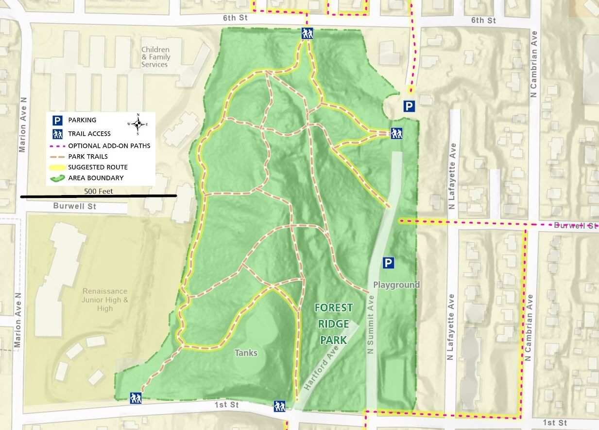
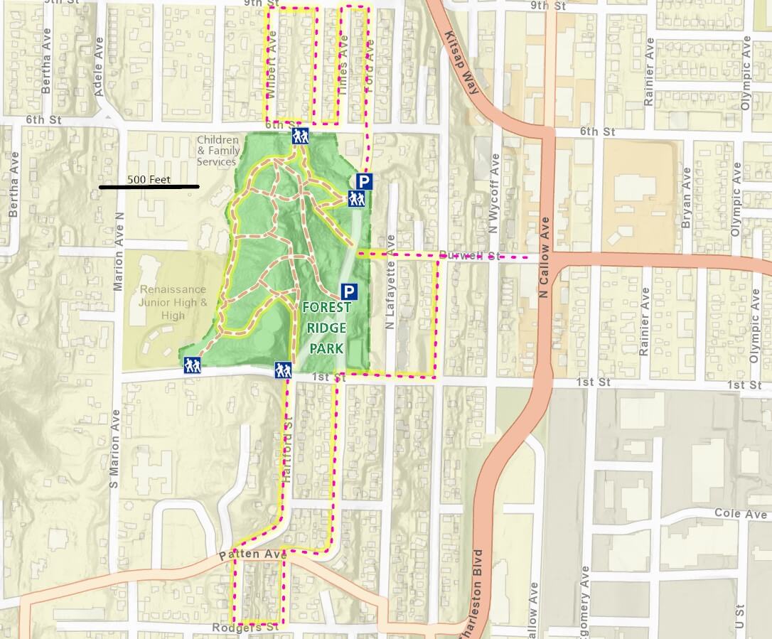
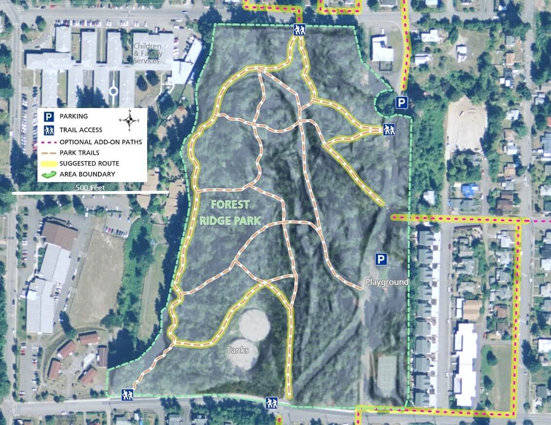
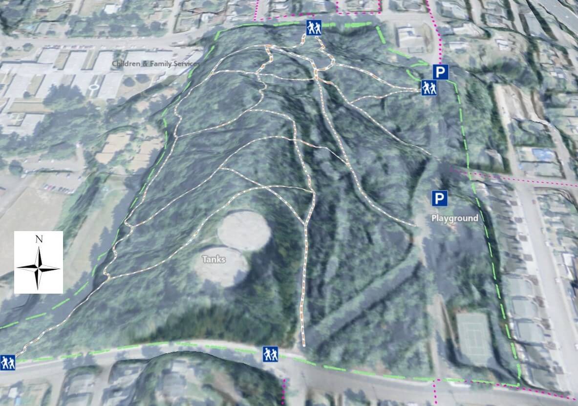
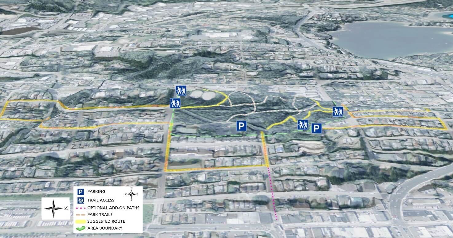
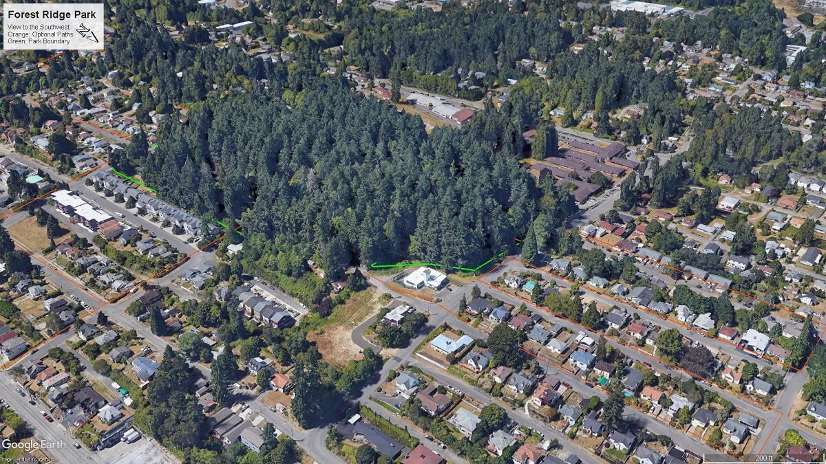
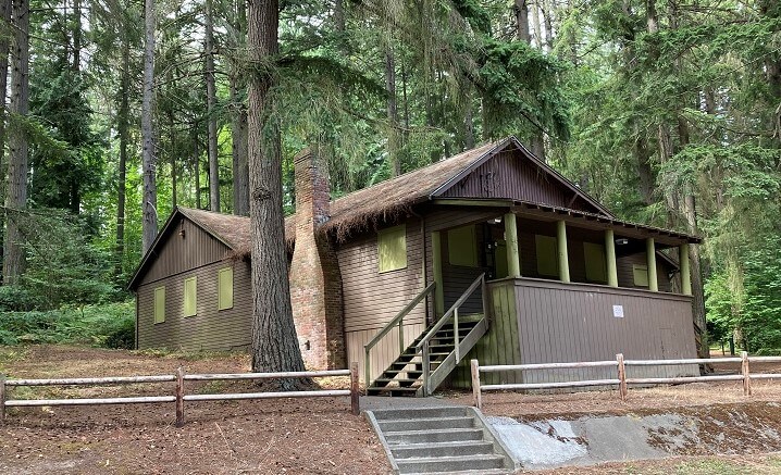
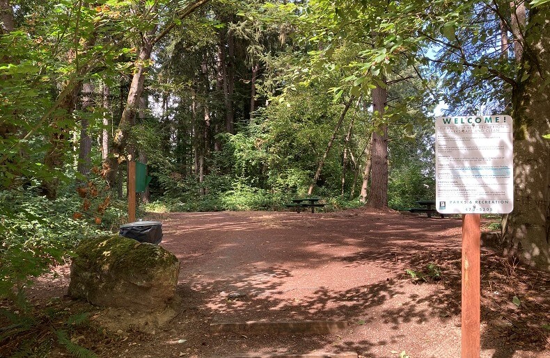
The City of Bremerton calls Forest Ridge Park a neighborhood park and it is just that.  An asset to those who live, work, or shop nearby, the park and adjoining areas offer multiple walking opportunities.

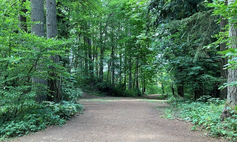
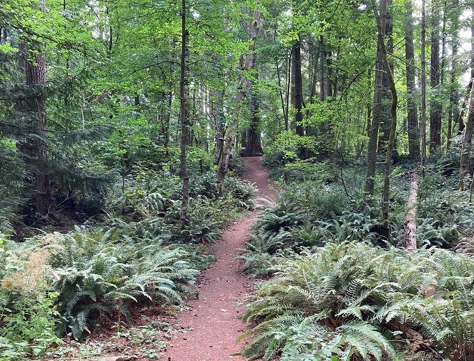
Within park boundaries, you are immersed in forest, even though busy Kitsap Way and Burwell St. are nearby.

The trails seem longer than they are and you can combine multiple segments to form loops up, down, or parallel to the rolling hills that make up the park.

Most people probably haven’t heard of Forest Ridge Park, by you almost certainly have seen it.  When driving down Burwell St towards Callow, it is the wall of trees at the top of the ridge in front of you.

With its location at the top of the hill, the surrounding neighborhood is an appealing addition to trails inside the park.

The combination of unique houses and lowland views makes the optional add-on paths something to look forward to.

The suggested route on the maps is just one possibility.  Feel free to follow any combination of trails and streets to tally the perfect distance.

Additional Maps

The map below provides a different perspective on Forest Ridge Park trails and the surrounding area with satellite imagery and elevation hillshading

3D Maps

See the map below for more realistic 3D perspective views of Forest Ridge Park and its topography

For more information, visit the authoritative Forest Ridge Park page