Anderson Landing Preserve Trails

An under the radar park that is worth the trip

Anderson Landing Preserve is a place that many people are unaware of.  It is close to Silverdale and easy get to.

It offers a well-maintained loop trail with a few diversions to the beach, an overlook, and a few small side loops.

The beach is beautiful, but not easy to cross due to its soft and wet surface

Pros

Cons

Trails Overview Map

Anderson Landing Preserve Trails

A Kitsap County park, Anderson Landing Preserve has almost two miles of trails and at low tide it provides additional walking opportunities.

The park is officially 66 acres in size, but feels much larger.  Hiking trails traverse up and down terrain, but are generally gently sloped.

Trails are generally well-maintained, but if you plan to walk onto the beach or take the spur towards Anderson Landing NW on the east side, prepare to get a little dirty. 

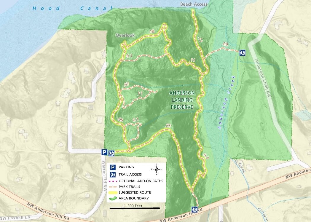
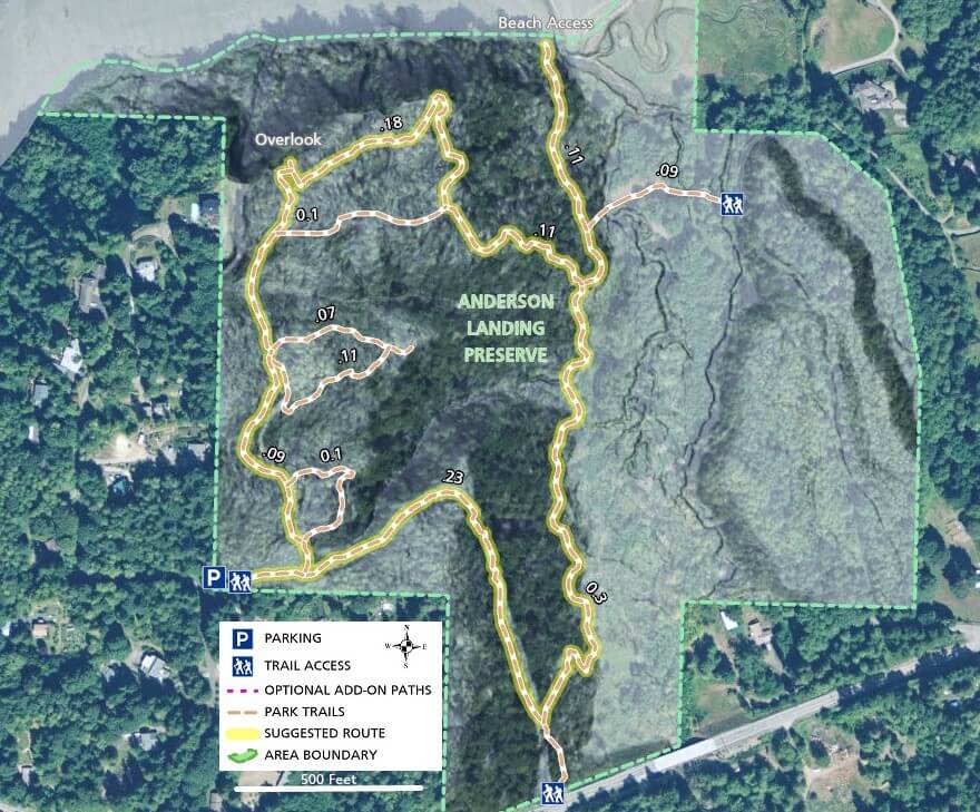
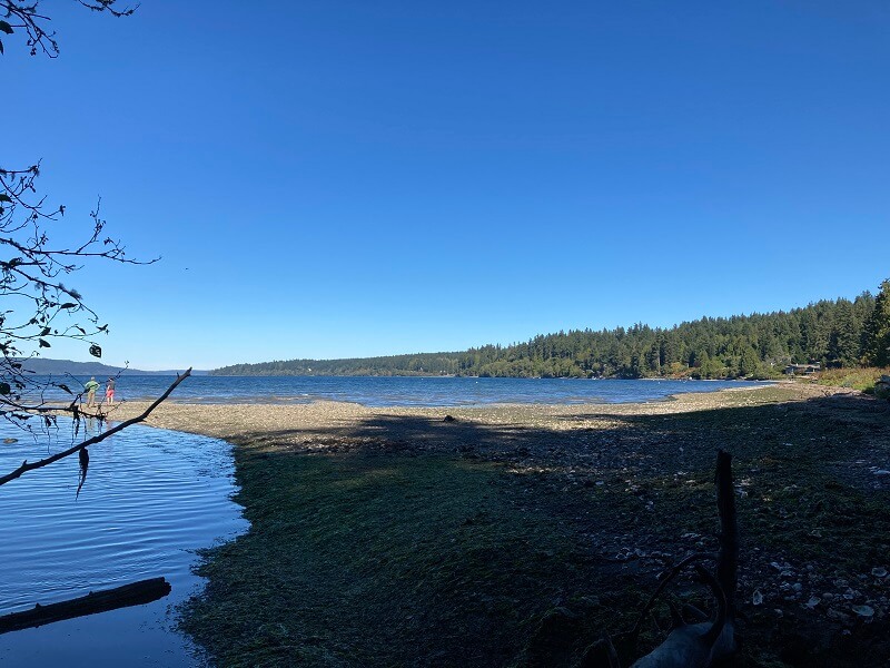
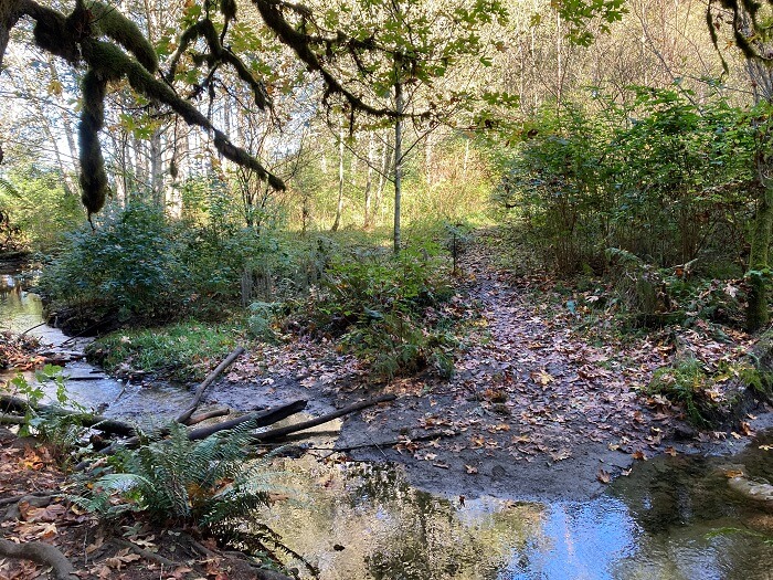
At high tide, the beach is nearly inaccessible and may require a small stream crossing.  Once you descend to the beach, the surface is wet and muddy and has certainly claimed a few shoes from careless hikers who take the wrong route.  Be sure to wear your least favorite shoes.

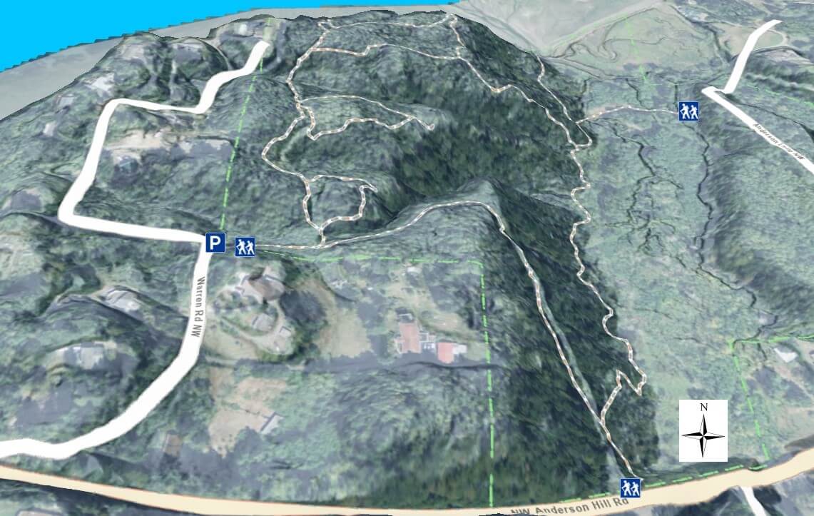
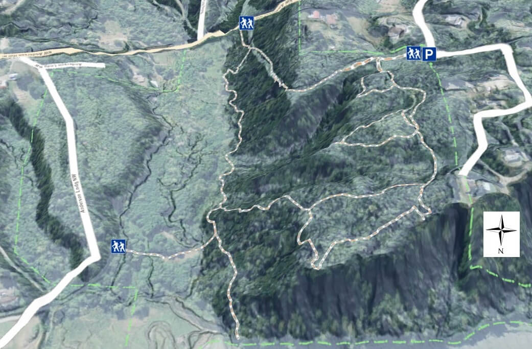
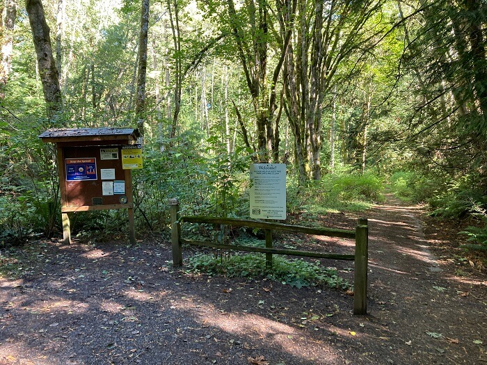
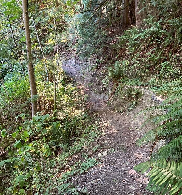
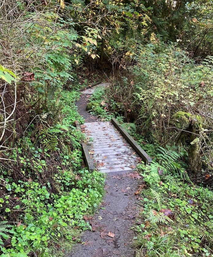
None of the trails are named, but with few options, they are easy to follow.  Trails on the west side are generally level, whereas the east side features a descent to the beach and then a climb back up.

The lot is very small with room for 6 or so cars depending on how people park.  There is a turn out on Anderson Hill Rd across from an additional trail access point, but it doesn’t appear to be a very safe place to park

Additional Maps

The map below provides a different perspective on Anderson Landing Preserve’s trails with  satellite imagery and elevation hillshading

3D Maps

See the maps below for more realistic 3D perspective views of Anderson Landing Preserve Trails.  

Anderson Landing Preserve Photos

For more information, visit the authoritative Anderson Landing Preserve page